Selected Maps and Visualizations


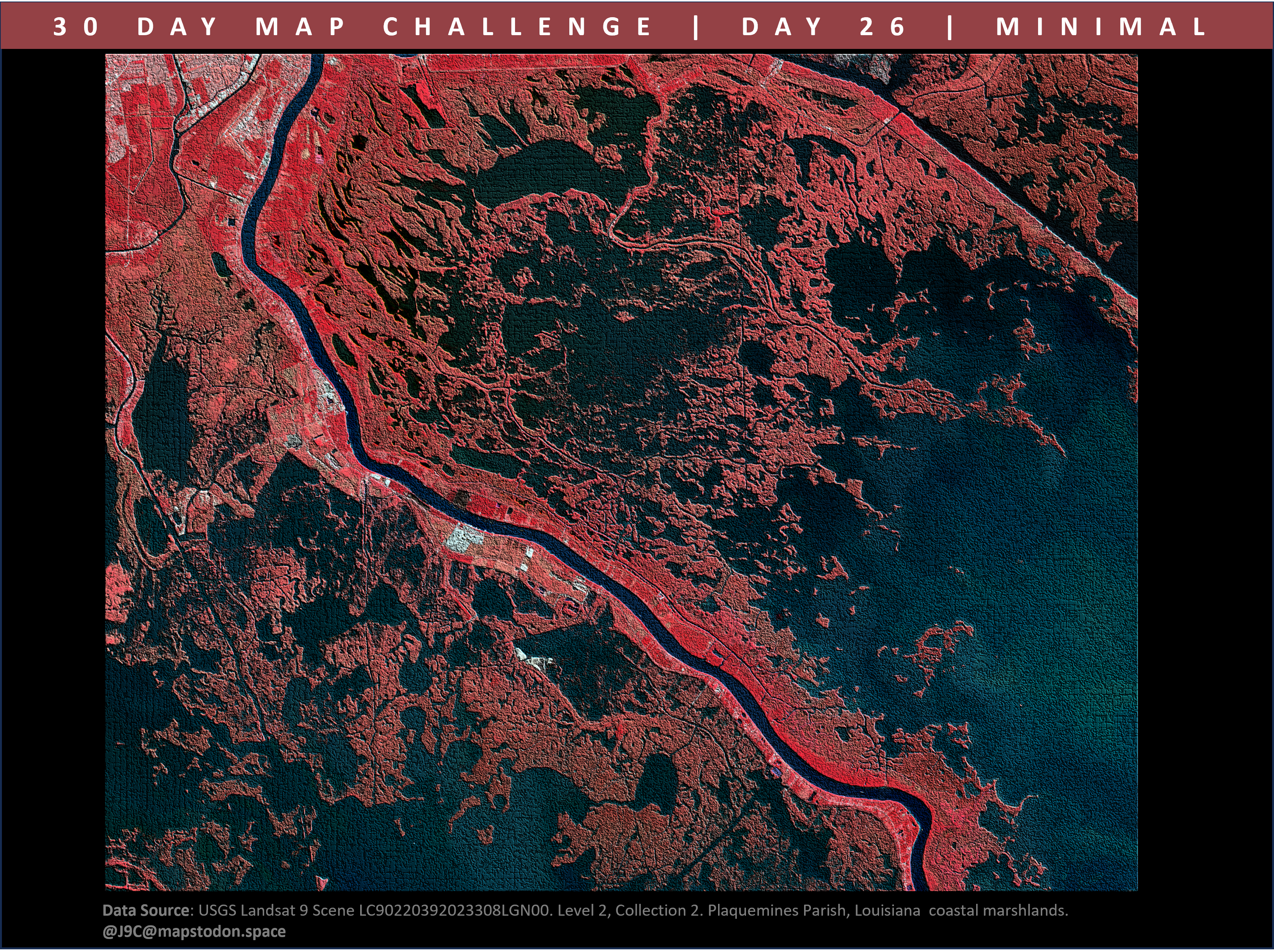
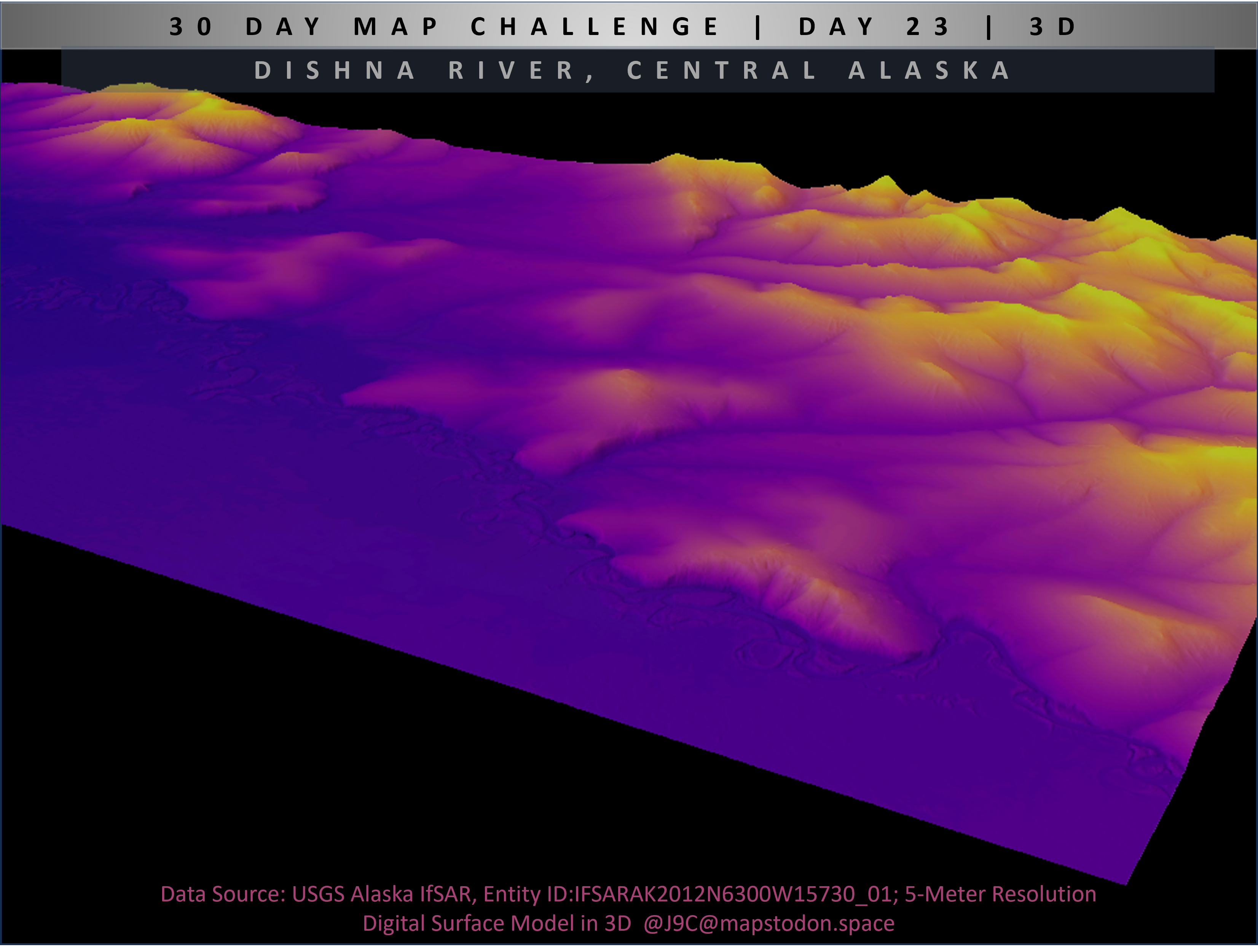
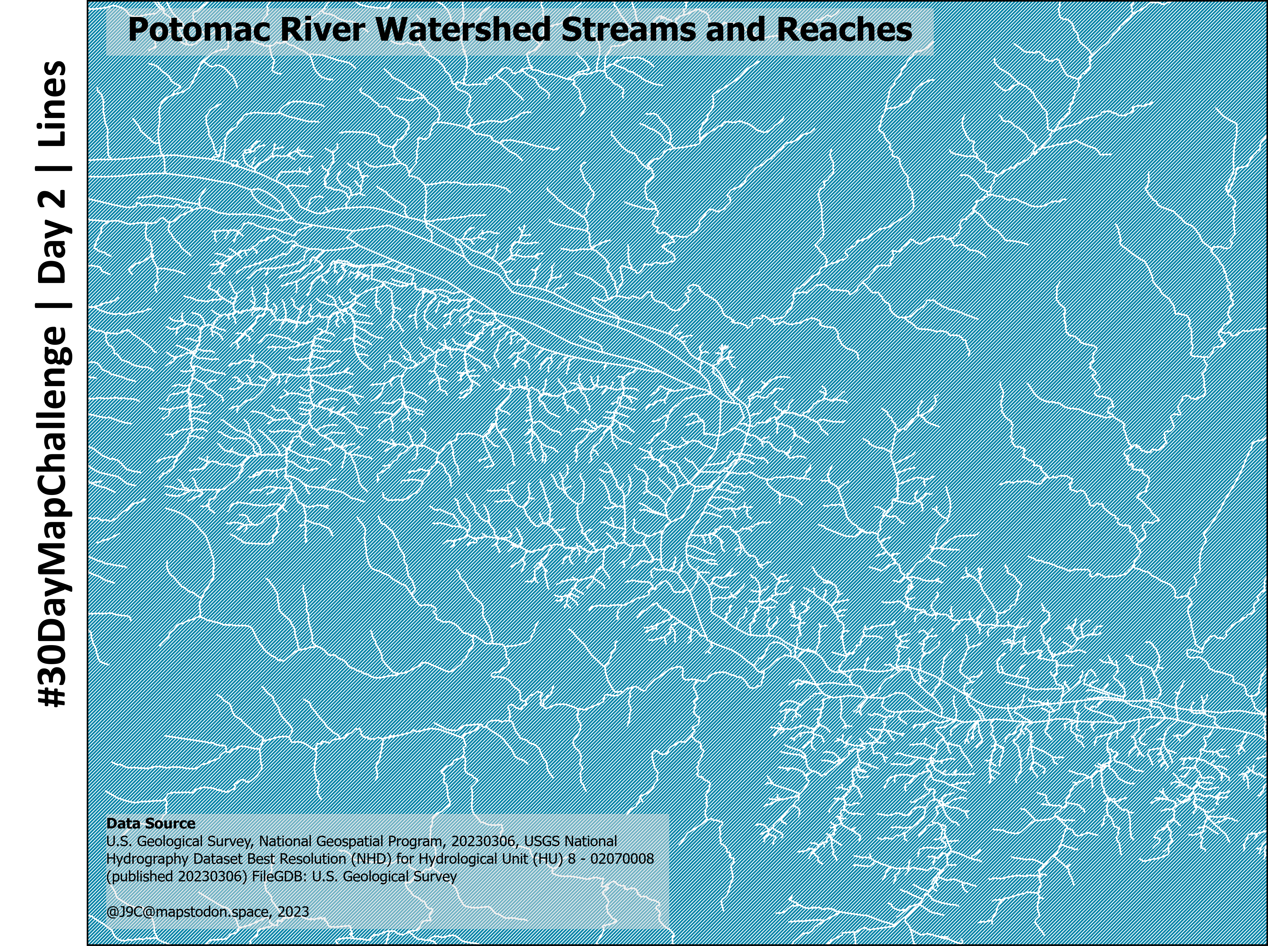
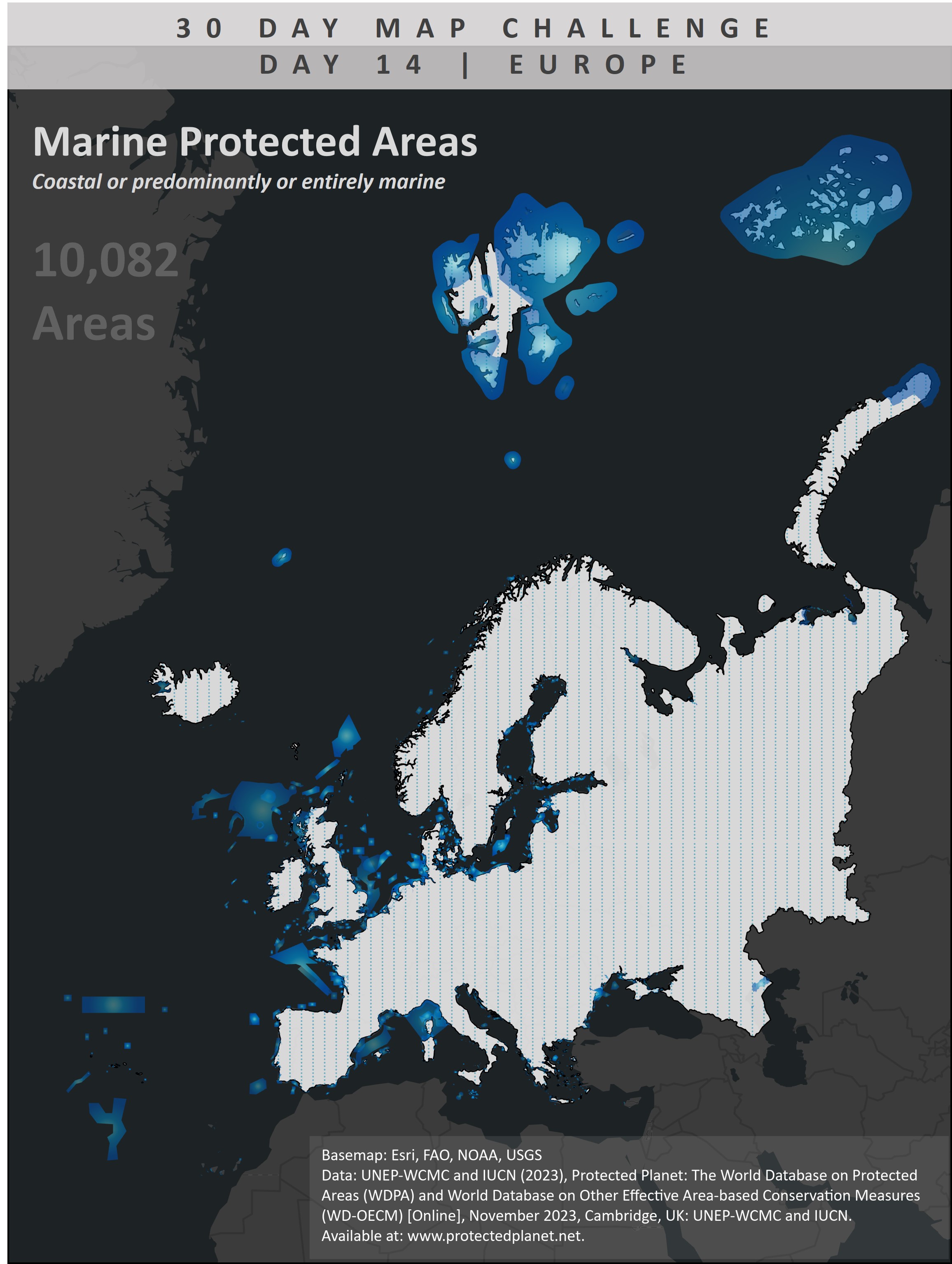
Relative Elevation Model

Software: ArcGIS Pro

Satellite Imagery - False Color Infrared

Software: ArcGIS Pro

This is the alt

Navigation Mapping

Software: ArcGIS Pro

This is the alt

Historical Navigation Mapping

Software: ArcGIS Pro

3-D Surficial Geologic Mapping

Software: ArcGIS Pro

Ifsar Digital Surface Model

Software: ArcGIS Pro

Earthquake Ocurrence Mapping

Software: ArcGIS Pro

Volcano Ocurrence Mapping

Software: ArcGIS Pro

Watershed Mapping

Software: ArcGIS Pro

Utility Mapping

Software: ArcGIS Pro

Coastal and Marine Mapping

Software: ArcGIS Pro

Visualizing Charts with GIS

Software: ArcGIS Pro

Upcycling Maps

Media: Historical topographic map

Blue Whale Migration

Software: ArcGIS Pro, Clipchamp